
價格:免費
更新日期:2019-04-24
檔案大小:137.4 MB
目前版本:1.8.4
版本需求:需要 iOS 9.0 或以上版本。與 iPad 相容。
支援語言:簡體中文, 英語
DatuFly™ is a professional imagery app for surveying, 3D modelling and construction industries, providing simple drone flight planning and automated, high resolution photo-shooting for mapping, 3D objects modelling, measurement and construction site management.
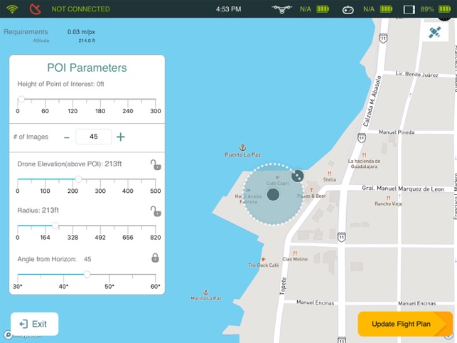
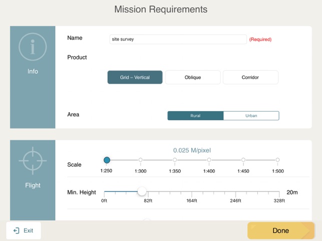
DatuFly™ features an intuitive user interface for creating missions that automatically guide the drone to capture optimized aerial images, in order to generate 2D and 3D maps, using Surveying and Construction industry best practices. DatuFly™ app minimizes field surveying time and cuts down surveying expenses.
Features and benefits:
- Simple and intuitive user interface
- Designed specifically for tablets
- Fully automated operation, from job type optimization to automated photo shooting
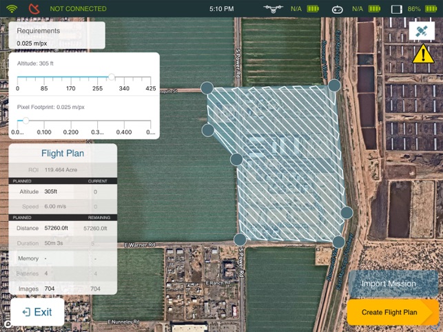
- Vertical and Oblique photo shooting and mission planning
- Multiple battery's support per project (exchange battery & resume mission)
- Surveyor and Construction oriented workflow
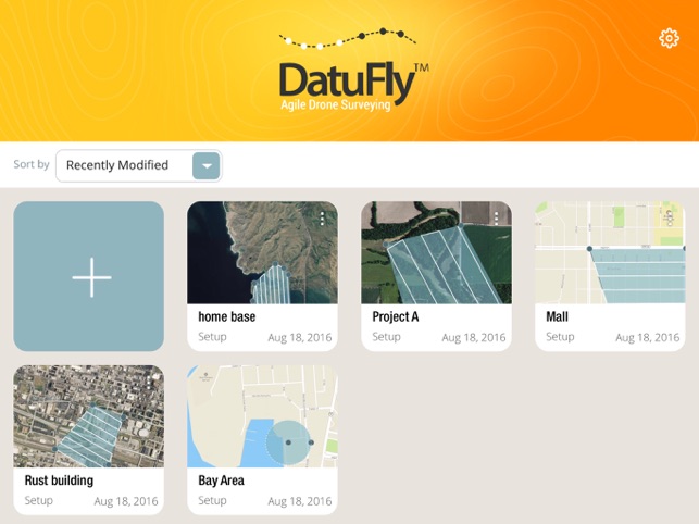
- Multi projects support
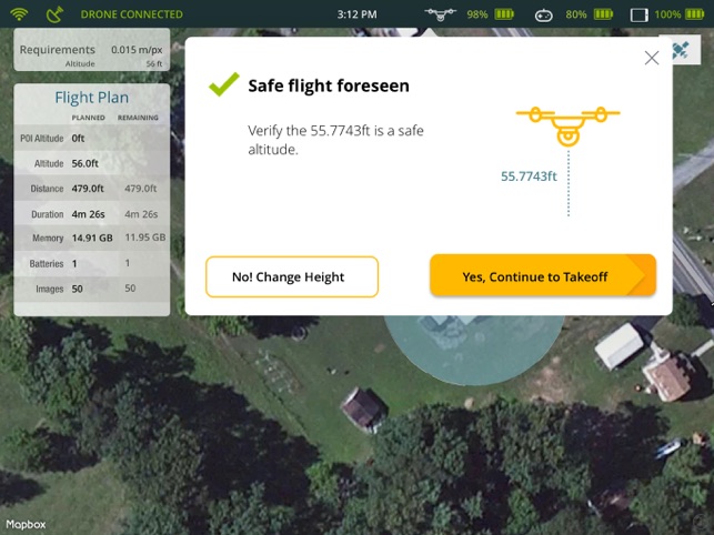
- Pre-flight checks and calibrations
- Harmless field surveying, keeping the surveyors and operators safe
- Drone safety wizards
- Analytics
- Mission planning projections
- Real time mission data and imagery stream
- Emergency landing and RTH
- Offline flight capabilities
- Chinese language support
- Aligned with DatuSurvey™ imagery best practices
DatuFly™ is compatible with the DJI Phantom 4 and 4 Pro\Advanced, Phantom 3 Professional, Inspire 1 Pro, Inspire 2 and Matrice 600
支援平台:iPad